
Tech & Gear · Tutorial
How to Download a Map Image From OpenStreetMap
Export an OpenStreetMap image for a document, presentation or website, and learn how to credit its contributors.
 By Tony Simons 3 min read
Disclosure: We may earn a commission when you shop through the links below. It never changes the verdict. Details
Disclosure
We may earn a commission when you shop through the links below. Opinions stay independent. Full disclosure
Need a map for an event handout, a presentation or a blog post? OpenStreetMap can export a static image directly from its browser map. You pick the area and format, download the image, and credit the contributors when you use it.
Quick answer: Open OpenStreetMap, find and frame the area, select the Share icon, then choose an image format and click Download. Add the required OpenStreetMap credit and license information wherever you use the map.
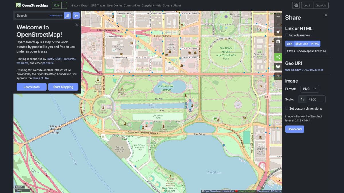
We opened the Share panel and downloaded a PNG of the National Mall area in Washington, D.C. The screenshot below shows the actual export controls. We did not test every format or print the image.
1. Frame the map
Search for a place in the search box, then pan and zoom until the area you want is visible. Make sure the labels and features you care about fit in the view. If your destination isn’t found, try a broader place name or navigate on the map.
OpenStreetMap is community-maintained, so details can be incomplete or out of date. Check critical details against a current authoritative source before using a map for travel, accessibility, safety or an event.
2. Open Share and download
- Select the Share icon on the right side of the map.
- In the Image section, choose a format. In our browser, the menu offered PNG, JPEG, WEBP, SVG and PDF. PNG is a straightforward starting point for a slide or document.
- Review the displayed scale and dimensions. The panel says the image uses the Standard layer; switching the visible map layer doesn’t mean the exported image will use that layer.
- For a different area, adjust the map view or select Set custom dimensions and adjust the selection on the map.
- Click Download, then open the file from your browser’s downloads and inspect the framing and readability.
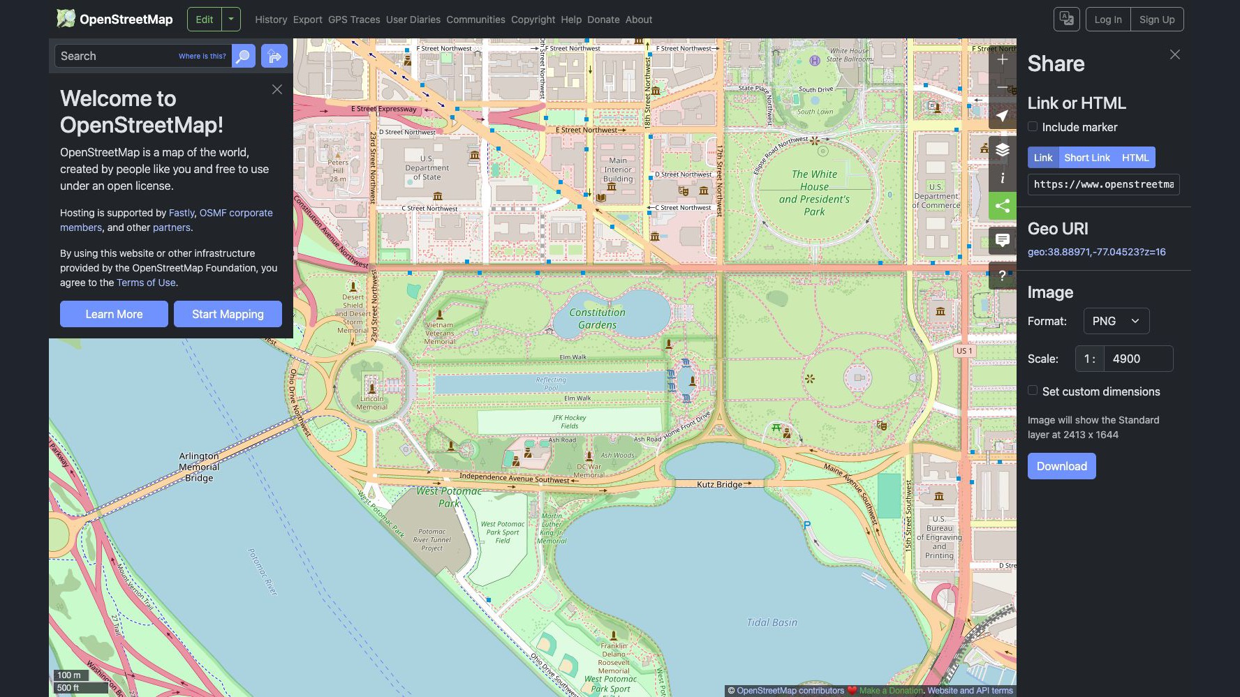
Our test produced a PNG file. The separate Export link in the top navigation is for map data; use the Share panel’s Image section for the rendered picture described here. OpenStreetMap’s export guide explains both paths and the custom-area control.
3. Credit the map properly
Don’t treat an image download as a free pass to remove the source. OpenStreetMap requires attribution to its contributors and a clear indication that its data is available under the ODbL. For an online static image, provide a visible credit such as © OpenStreetMap contributors and link to openstreetmap.org/copyright. Check the current licensing and attribution guidance for the medium and any additional requirements; printed material needs a readable URL because a hyperlink won’t work on paper.
Inspect the actual downloaded image: don’t assume a credit visible on the website will be included in the exported file. Add the required credit when placing the image, and make sure it remains legible after cropping or resizing.
If the download isn’t what you expected
Wrong area or hard-to-read labels? Reframe or zoom the map and export again. Check the image at its intended presentation or print size.
Need directions rather than a picture? A static map isn’t turn-by-turn navigation. See our guide to planning and sharing an OpenStreetMap route.
How we checked: We used the OpenStreetMap website’s Share panel, selected its PNG option and downloaded a map image. We inspected the saved file’s dimensions, but did not test other formats or print it. Interface: OpenStreetMap. Map data © OpenStreetMap contributors, ODbL. The featured image is the same real interface screenshot, padded to 16:9.
The Inner Circle
Know what is worth buying before you buy it.
Gear I lived with, guides that save you an afternoon, one email a week.
- New verdicts and scores
- Same-day workflow tips
- No spam, unsubscribe anytime
Written by
Tony Simons
Tony has a bachelor's degree from the University of Phoenix and over 14 years of writing experience between multiple publications in the tech, photography, lifestyle, and deal industries.


